
Hiking in Korea Like a Local - Subway Peaks and Closures
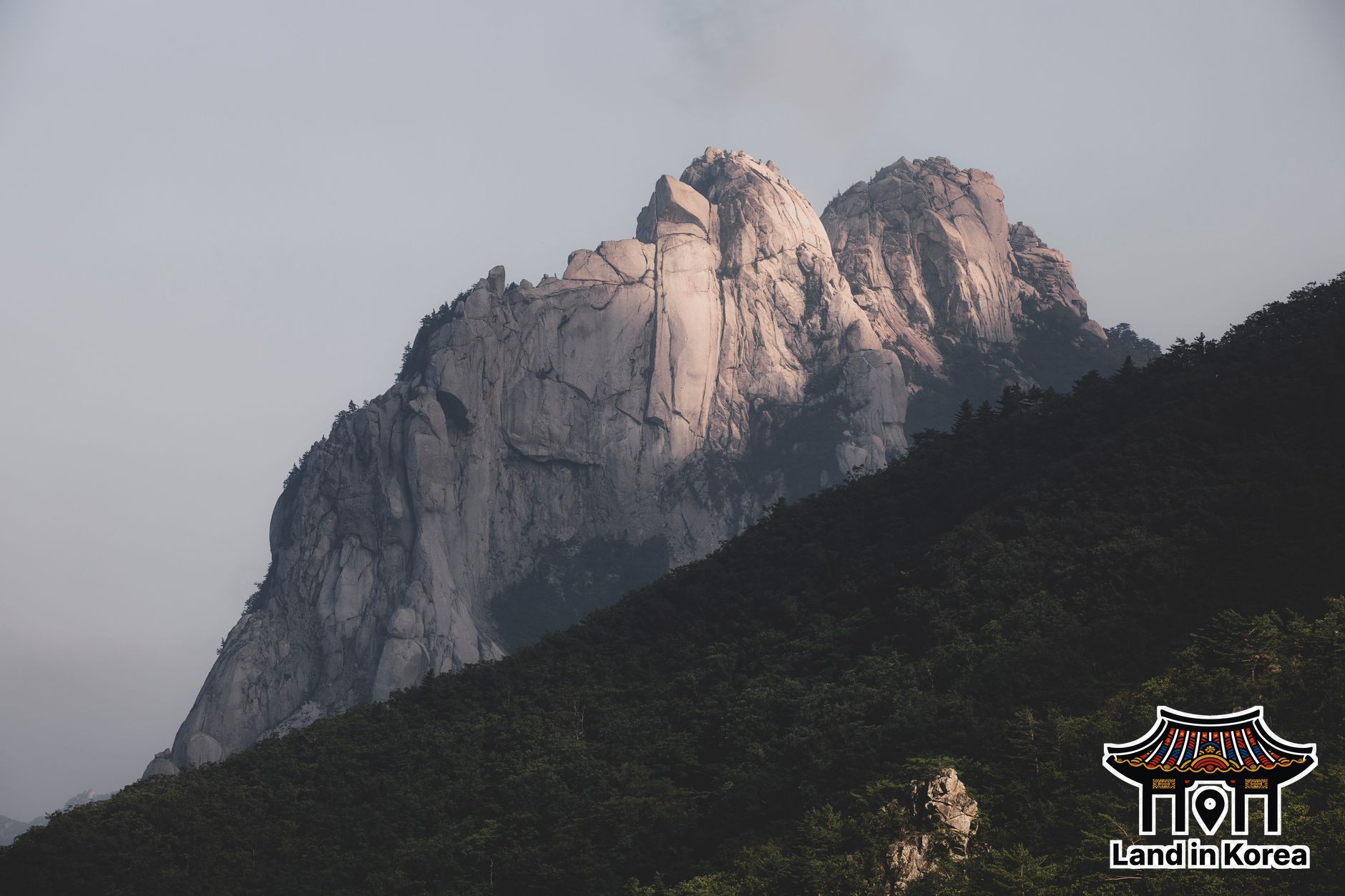
Most visitors plan a Korean hiking day around one famous mountain and a sunny forecast. The two things that actually decide the day are ones almost nobody checks: whether the trail they picked is legally open that week, and how they plan to get down a slab of polished granite once their legs are tired.
Hiking here isn't a niche hobby. On a Saturday morning, Line 3 heading north and Line 1 toward Dobongsan fill up with people in matching jackets and trekking poles, and the reason is simple: several serious peaks start at a subway exit.
Four real mountains at the end of a subway ride
- Bukhansan (highest peak Baegundae, 836 m) is the big one. The popular Bukhansanseong trailhead is a short bus ride from Gupabal Station on Line 3, and Bukhansan Ui Station, the last stop on the Ui LRT, puts you near the eastern trails.
- Dobongsan is part of the same Bukhansan National Park, but it gets its own station, Dobongsan on Lines 1 and 7. The walk from the exit to the trailhead is lined with outdoor-gear shops and restaurants, which tells you a lot about how many people make the trip.
- Inwangsan (338 m) starts a short walk from Dongnimmun Station on Line 3 and follows a stretch of the old Seoul City Wall. It's the best short option if you have a free morning and want a skyline view without committing to a full day.
- Gwanaksan (632 m) sits on the southern edge of the city, reached from Seoul National University Station on Line 2 or Gwanaksan Station on the Sillim Line.
Low numbers are misleading. These are granite mountains, and the upper sections of Bukhansan and Dobongsan include steep rock with steel cables and railings bolted in. It's also worth knowing that Inwangsan and Gwanaksan are city-managed mountains rather than national parks, so the national park rules below apply to Bukhansan and Dobongsan but not automatically to the other two.
Check the closure calendar before the forecast
The Korea National Park Service (KNPS) closes selected trail sections during wildfire-prevention periods, and these aren't a handful of obscure paths. In spring 2026 the closures ran from February 15 to April 30 in nine national parks, from March 3 to April 30 in six more, and from March 3 to May 15 in four others including Seoraksan, covering 148 trail sections in total. A second closure window comes in late autumn, and winter brings additional closures for safety, especially when heavy snow is forecast.
The detail that catches people out is that closures are listed by section, not by mountain. A park can be open while the ridge you wanted is shut. Check the trail-control notice on the KNPS website (knps.or.kr) for the specific park, then look at the board at the trailhead, which is the final word on the day. Entering a closed section is not a gray area; rangers issue fines.
Numbered markers and the granite descent
Trails in Korea are heavily signposted, usually with the distance to the summit and the distance back to the trailhead on every junction post. The signs worth learning to recognize are the numbered location markers. Many carry a national point number, two Korean letters followed by eight digits, created precisely so that someone calling 119 from a mountain with no street address can say exactly where they are. If you twist an ankle, read that number to the dispatcher instead of trying to describe the view.
Most injuries don't happen on the way up. They happen coming down, when tired legs meet granite that thousands of boots have polished smooth. A thin layer of sand grit on dry rock is nearly as slippery as rain. Shoe grip matters far more than fitness here: a sticky rubber sole will do more for you than an extra month of gym sessions. Poles help on long stepped descents, and in winter, the chain crampons Koreans call aijen are standard kit. Trailhead shops sell them, and on icy north-facing slopes they're the difference between walking and sliding.
Yes, you will look underdressed
Korean hikers favor full technical kit: brand-name shell jackets, trekking poles, gloves, buffs, and often matching outfits for a two-hour hill. Brands like K2, Black Yak, Kolon Sport and Nepa are everywhere. Nobody will stop you in sneakers and a T-shirt, but some of that kit exists for good reasons. Gloves make cable sections and rock scrambles far more comfortable, and a light shell covers the wind that hits every exposed summit.
You don't need to pack it all from home. Trailhead shopping streets, outdoor brand outlets and discount sporting-goods chains make it easy to pick up cheap poles, gloves or a rain shell locally. Foreign visitors can also use the Seoul Hiking Tourism Centers, run by the city, at Bukhansan, Bugaksan and Gwanaksan. The Bukhansan branch is about five minutes from Exit 2 of Bukhansan Ui Station and rents boots, clothing, poles, gloves and crampons, with changing rooms, luggage storage and trail advice in English. Check current rental terms on the Visit Seoul site before you go.
Makgeolli at the summit is mostly over
The old image of rice wine on the peak no longer fits inside park boundaries. Since 2018, the Natural Parks Act has banned drinking at summits, shelters and designated trail areas in natural parks, with a fine of 50,000 won for a first offense and 100,000 won after that. Cooking and open flames are also restricted to designated spots.
The tradition didn't disappear; it moved downhill. Most trailheads have public restrooms and a cluster of restaurants serving pajeon, tofu stew and bibimbap, and for many locals that post-hike meal is half the point of the outing. Plan your route so it ends somewhere with food rather than at a bus stop on a highway.
Crowds and timing
Weekends are busy all year, and October foliage season is on another level, with queues forming at narrow rock sections just below popular summits like Baegundae. Being on the trail by around 8 a.m. genuinely changes the experience, and a weekday hike beats any weekend. If foliage is the goal, our foliage timing guide covers when color reaches Seoul. Also check sunset time before you set off; descending granite in the dark is exactly how a pleasant day turns into a rescue call.
Before your first Korean hike
Pick the mountain by subway line, then confirm your exact trail section is open on knps.or.kr. Wear shoes with real grip, carry water and a light layer, and save 119 in your head along with the habit of reading marker numbers. Start early, budget more time for the descent than the climb, and finish at a trailhead restaurant with a plate of pajeon.
Official sources
This guide is checked against Korea National Park Service. Prices, hours, and procedures change — confirm time-sensitive details there before you rely on them.
Frequently Asked Questions
Do you have to pay to enter national parks in Korea?
No. Korean national parks dropped their general entrance fees in 2007, so walking into Bukhansan or Dobongsan costs nothing; you pay only for transport, food and any gear you rent or buy.
Can a beginner hike Bukhansan without a guide?
Yes, as long as you pick a route that matches your fitness, because the trails are well marked and busy with other hikers. Treat the final rocky push to Baegundae as the hard part, and turn back if it is wet or icy rather than forcing the cable section.
Do I need crampons for hiking in Korea in winter?
On most Seoul mountains from roughly December to February, yes, since shaded granite stays icy long after the city streets are clear. Simple chain crampons that slip over normal hiking shoes are enough for city peaks and are sold at trailhead shops.